Hiking
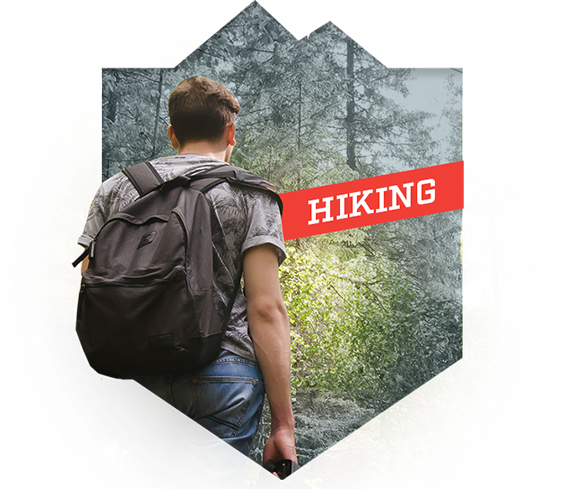
Wide-open country and endless skies are out there looking to be explored. Whether you want a short day hike or several days of backpacking adventure, look no further than the multiple trails in Jefferson County. These rolling trails will take you through pine forests, along rocky outcroppings, and next to roaring rivers. Whichever route you choose, you are sure to have a hike to remember.
Homestake Picnic Area
Description
Once a flag stop for the Northern Pacific Railroad, the Homestake Picnic Area provides day use of the lake, tables, fire rings, and bathroom services. Scenic trails nearby are great for hiking, ATV riding, and motorcycle riding.
Elkhorn Mountains
Description
Topographic map and information about recreating in the Elkhorn Mountain Range, an inactive volcanic mountain range that is part of the Helena National Forest.
Strawberry Cabin
Description
Explore a magnificent recreation and wildlife resource at the doorstep of Montana's Capital City, taking you from prairie to alpine, mayflies to mountain goats, and scenic driving to expert climbing routes.
Backpack to Casey Meadow
Description
Backpack to Casey Meadow in the Elkhorn Mountains on a trail that follows the creek in the meadow, leading to a steep trail full of switchbacks that takes you up to Casey Peak.
Hike To Casey Peak
Description
On the Hike to Casey Peak, a continuous climb from the road to the meadows, you’ll cover a lot of elevation, crossing a couple of creeks on your way.
Maupin/Willard Creek Trail
Description
Willard Creek Trail is a short trail segment providing access into the Elkhorn Mountains and the area burned in the 1988 Warm Springs Fire. With parking capacity for six vehicles, this is a great family trail.
Cottonwood Lake
Description
Information and locator map for Cottonwood Lake.